Log in
All resources
Create a design
17 Free Artworks of 18th Century Maps Of Portugal
bibliothèque nationale de france
maps in the rijksmuseum amsterdam
18th-century maps of the iberian peninsula
18th-century maps of spain
male black shoes with buckles in portrait paintings
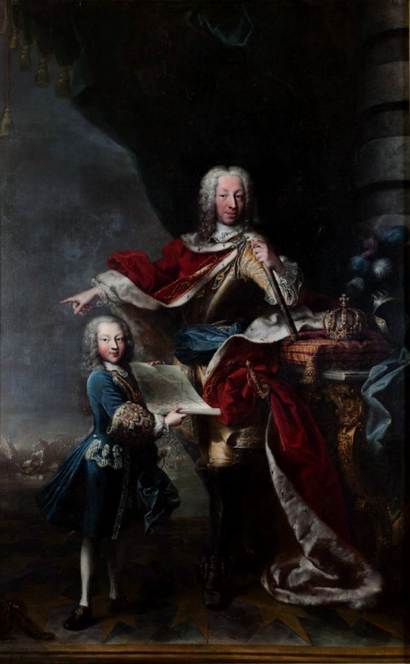
maps in portrait paintings
oil
andalusia in the 18th century
pieter van der aa
18th-century engravings
portrait paintings by maria giovanna clementi (house of savoy)
baroque
portrait of sebastião josé de carvalho e melo, 1st marquis of pombal by louis-michel van loo and claude joseph vernet
paintings by joseph vernet
prints by jan luyken in the rijksmuseum amsterdam
maps in the rijksmuseum amsterdam
18th-century maps of the iberian peninsula
maps in the rijksmuseum amsterdam
18th-century maps of portugal
maps by carolus allard
maps by john cary
1811 maps
andalusia in the 18th century
los palacios y villafranca
andalusia in the 18th century
18th-century engravings
antoine-françois tardieu
maps from gallica
atlas géographique des quatre parties du monde (delisle)
18th-century maps of the iberian peninsula
old maps of french guiana
old maps of venezuela
1780s maps of portugal
maps by tomas lopez
18th-century maps of the azores
1780s maps of portugal
maps of the history of morocco
empire of morocco
18th-century maps of the iberian peninsula
maps in the rijksmuseum amsterdam
maps in the rijksmuseum amsterdam
18th-century maps of gibraltar
maps by jakob van der schley
history of hormuz island
1 - 17 of 17
/ 1